Generated graphics
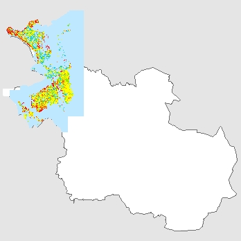
URL: https://metadata.geodataoverijssel.nl/attachment/142117/INFRAM_DG_2050_bodemdaling.jpg
This is a graphical representation of the dataset offered via NationaalGeoregister.nl. This graphical representation may not reflect the data, but serve as a supporting image. If the dataset is offered via an OGC:WMS service, it is possible to generate a graphical representation of the dataset yourself.
There are no views created for this resource yet.
Additional Information
| Field | Value |
|---|---|
| Data last updated | unknown |
| Metadata last updated | September 13, 2023 |
| Created | unknown |
| Format | http://publications.europa.eu/resource/authority/file-type/JPEG |
| License | http://standaarden.overheid.nl/owms/terms/licentieonbekend |
| Created | 1 year ago |
| Language | ['http://publications.europa.eu/resource/authority/language/NLD'] |
| Distribution type | https://data.overheid.nl/distributiontype/visualization |
| Id | c66ebbed-6c05-4e19-848e-11b9ec470a5e |
| License id | http://standaarden.overheid.nl/owms/terms/licentieonbekend |
| Metadata language | http://publications.europa.eu/resource/authority/language/NLD |
| Package id | 1a443ee7-9287-41d7-be04-6da1911d1988 |
| Position | 2 |
| State | active |